
Land Surveyors For Designers
We offer a range of services to enhance your clients projects
Reliable survey data helps designers plan with greater accuracy, clarity and confidence from the outset.
Accurate survey information provides a reliable foundation for considered design and planning. Head & Humphreys works with architects, building designers, engineers and town planners, delivering detailed land, boundary, elevation, structural and site survey data to support informed decisions throughout the design and approval process.


Feature & Level Surveys
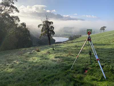
- 3D survey of existing conditions to facilitate accurate design (architect, draftsman, engineer etc.), master planning, and asset management.
- The preparation of existing condition plans, site and context plans, and design response plans as requested by council for development applications.
Title Boundary Surveys & Advice
- Title searching; title boundary re-establishment survey incl. determination of fence / building positions relative to boundaries / easements. Detailed advice to clients on resolving issues including adverse possession, general law land, land status (Roads, Reserves etc.) access and use rights.
Facade Surveys/ Elevation Plans
- 3D Survey of building facade presented as elevation plan.
Laser Scanning / Point Cloud Survey
- Laser scan of building, structures, assets or area to obtain a 3d point cloud and images. This data can be provided in a number of formats, including overlaid over survey CAD data. 3d renders, and flood plans can also be provided as deliverables.
Structural Building Detail Surveys
- 3D survey of structural columns, rafters, trusses, canopies and structures for building extensions and modifications.
Earthworks Volume Comparison
- 3D survey of structural columns, rafters, trusses, canopies and structures for building extensions and modifications.
Underground Service Detection Surveys
- In co-ordination with underground detection specialist, locate and map the detected route of underground service assets for records management and pre-works checks.
Vegetation Surveys & Tagging
- Survey to locate and tag existing vegetation for flora and arboricultural assessments and reports
Clause 56 Assessments & Site Analysis
- Preparation of plans and reports to accompany development applications in accordance with Clause 56 of the Planning Scheme.
Adverse Possession
- Title boundary survey to determine the extent of additional land being occupied, and detailed advice regarding the status of land occupied and likely success of a claim.
- Preparation of abstract of field records, surveyor’s report, plan of survey and overlap diagrams (as required) for lodgement of application by solicitor.
A-SPEC SURVEY
- Survey to locate document and detail existing assets and features for Councils service authorities and land managers; D-SPEC, R-SPEC, O-SPEC and B-SPEC, and provide digital information as per GISSA standards.
Why Choose Head & Humphreys?
Over 60 Years of Experience
Our long history in land surveying and development planning provides clients with reliable knowledge built across a wide range of projects throughout Melbourne and regional Victoria.
Licensed Surveyor Involvement
Licensed surveyors play a central role throughout each project, helping maintain accuracy, clear communication and informed decision-making from beginning to completion.
Modern Technology, Personal Service
Our dedicated team combines contemporary surveying equipment and techniques with the attentive, dependable service of an established local business.
Discuss Your Surveying Needs
Planning a project? Speak with Head & Humphreys about the surveying support you need to move forward with confidence.